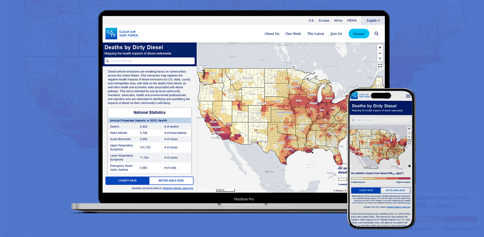
Web application for the Clean Air Task Force
A web map to visualize the imact from diesel exposure

The project
We developed a detailed mapping application that displays county-level air pollution impact from diesel exposure. The map shows trends in both county-level exposure and exposure by metropolitan area.
Our role
We built the tool from start to finish -- design to deployment. We worked closely with the team at Clean Air Task Force to implement an application that could quickly show national trends in exposure. The application also implements drill-down functionality that allows users to click on a state to reveal a state-level set of maps and charts.
Features of the work
- We wrote the application using React with Typescript
- We used
turffor advanced mapping functionality - We used the Material UI component library for a consistent style
- The application was developed as a web component so it could easily be embedded in an existing website
Tools used

React

Typescript

Mapbox
Made for
